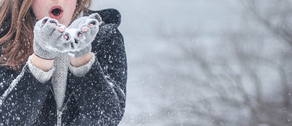
Thursday marked the beginning of the frosty season, yet signs of genuine wintry weather have been scarce so far. December, predicted to be warm, lived up to expectations with no consistent cold spell in the weeks before the holidays. Many Canadians experienced unseasonably high temperatures, with some areas surpassing records by over 20°C. A green-brown Christmas seems likely for much of Canada, a stark contrast to usual conditions.
El Niño, known for milder Canadian winters, is set for one of its strongest occurrences this season. The winter forecast, however, remains uncertain. In the West, prospects for a typical Canadian winter are slim, with El Niño expected to overshadow traditional winter conditions. Occasional cold snaps may occur, but the dominant mild Pacific air will make them fleeting.
British Columbia anticipates less precipitation and snowfall than usual, along with increased sunshine. Alpine ski conditions may suffer due to rain events. The Prairies will similarly experience mild Pacific air, overshadowing Arctic influences. While brief periods of severe winter weather are possible, the season will generally see above-average temperatures and less snow.
In the East, where early winter conditions have emerged, a return to wintry weather is possible but delayed. A typical El Niño winter fade is expected, with standard winter conditions emerging later in the season. January might start colder, especially in the first half, but a full winter plunge could require time and multiple cold fronts.
Mid to late January might bring significant thaw events in parts of Ontario and Quebec. A typical January pattern of alternating cold and warm spells could balance the month’s temperatures to near normal.
The season in the East is projected to conclude strongly, with February potentially being the coldest month. The traditional cold weather associated with winter is expected to arrive then and remain steady.


