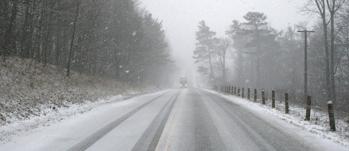
Despite December’s unusually warm temperatures across Canada, winter has not been canceled. In fact, January will present a stark contrast, as colder weather takes hold. December felt more akin to late fall, defying the typical wintry conditions expected after December 21. This deviation was notable, with many regions experiencing their warmest December on record or close to it. A significant factor behind this mild trend was a strong El Niño.
However, a major shift is occurring in January due to changes in the jet stream and the polar vortex, which is splitting and impacting Northern Canada. This is starting to introduce colder temperatures, particularly in the Arctic regions which had a mild December.
As January progresses, especially in its second week, Arctic air will spread south across Western and Central Canada and into the United States. The coldest conditions are anticipated in Western and Central Canada, but Eastern areas will also experience temperatures closer to seasonal norms.
Despite this, we’re entering the year’s coldest period, so snow and ice events are still likely, even if temperatures are above normal. An active storm track is expected from the Great Lakes to Atlantic Canada in mid-January.
The second half of January will see a return to typical mid-winter conditions across most of Canada, alternating between frigid and milder periods, including a traditional January thaw.
Overall, while January temperatures may be near or above normal for much of Canada, this still represents a significant shift from December’s warmth, as January is typically the coldest month. For winter enthusiasts, this is welcome news. For others, it’s a reminder to stay prepared with warm clothes and shovels. Winter’s arrival, though delayed, is inevitable.


