
From Parched to Lush as El Nino Starts to Bow Out to la Nina
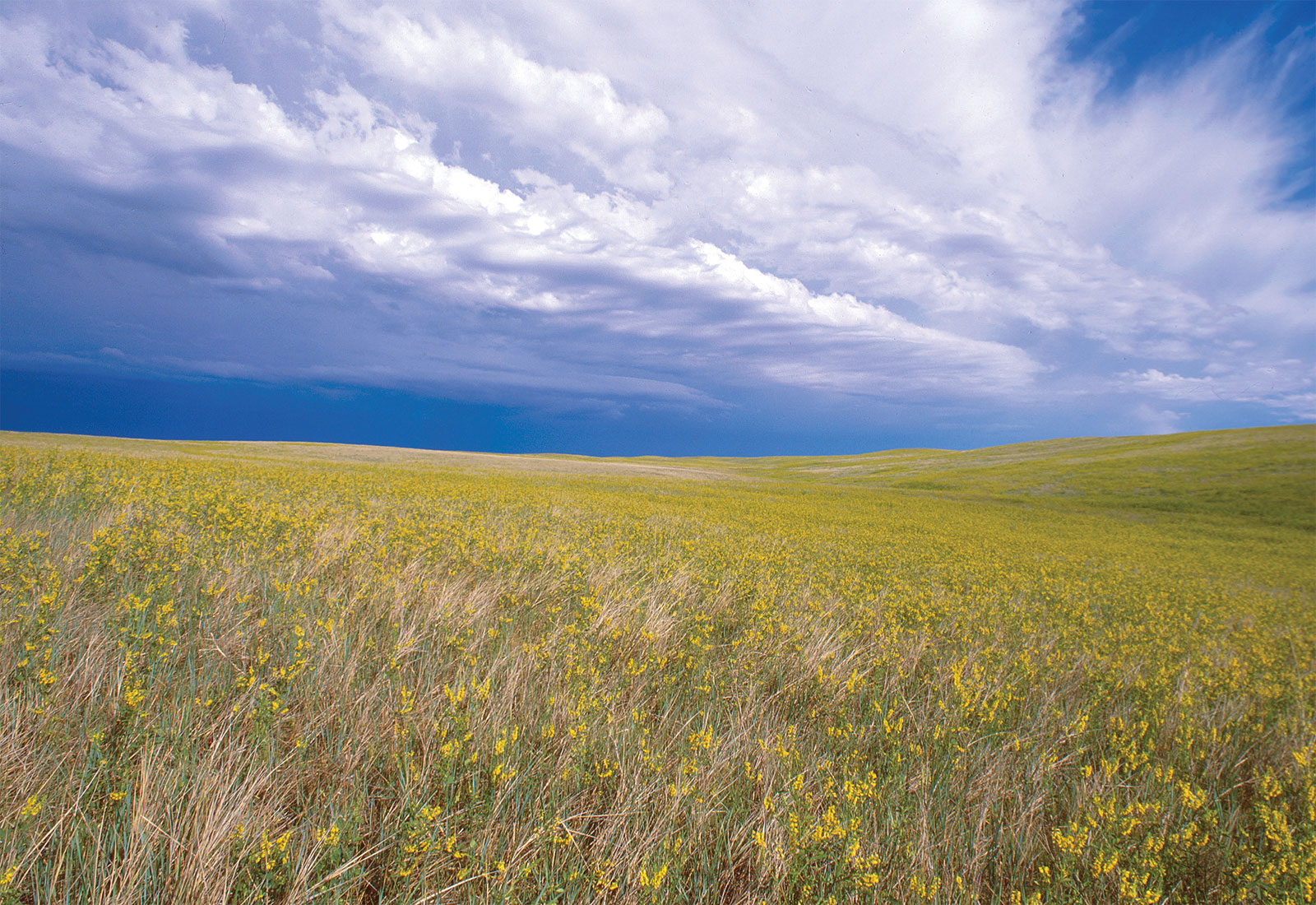
A wet start to spring has brought some relief to the drought-stricken portions of Western and Southern Saskatchewan. The green grass is a beautiful sight after years of crisp burnt grass. Areas around Eatonia have seen around four inches of rainfall this month, Kindersley one to two inches, Eston one to two inches, Kerrobert two inches and around Rosetown around three inches.
We can thank a shifting weather pattern for our cooler and wetter spring. Temps have been hovering around 15 degrees this month compared to the 30 degree temps we saw last May. This is allowing the moisture to soak in more hopefully giving crops and grasslands a leg up to start. There was concern that this weather pattern shift might not happen till June/July which would not have been optimal for producers.
El Nino and La Nina are some of the biggest factors in weather patterns in Canada. We’ve been in an El Nino cycle which has contributed to the drought conditions over the past few years. We are slowly seeing that shift happen to a La Nina pattern.
El Nino is a weather pattern that occurs in the Pacific Ocean, usually every 3-5 years. Wind warm surface water from the equator and move East towards Central and South America as well as the southern portion of Alaska, Pacific Northwest and Western Canada. These years tend to be warmer and drier than average for us here in the Canadian prairies.
La Nina has the opposite effect here. Trade winds are stronger pushing more warm water towards Asia. Off thye coast of the Americas, upwelling increases bringing cold water to the surface. These cold Pacific waters push the jet stream north bringing a wetter-than-normal pattern to Canada.
This weather pattern change has brought an earlier start to our severe weather season here in western and southern portions of Saskatchewan. Last year was an extremely slow season with only 1 tornado reported in the province and a record low amount of lightning strikes. This spring there was a late April hail storm around Marengo that brought a heavy swath of hail. May brought the first tornado warnings of the season around Gull Lake. This could indicate a more active severe weather season for the prairies, depending how bad the fire season will be and smoke coverage associated with that. We’ve already seen a few days of those smoke filled sky’s due to fires that over wintered and continue to burn in Northern portions of BC and Alberta.
While we are trending towards a cooler wetter season and a more active severe season lots of factors can influence change in the weather. You need moisture to fuel moisture, but also some warmer temps to allow that moisture to evaporate into the atmosphere. Things like smoke can impede that process. So it’s hard to say with certainty what the season will exactly bring. Everything is off to a good start for producers and for now it makes us optimistic having a break from the parched landscape even if it means battling a few more mosquitos this year, and possibly a colder winter.
By Jenny Hagan
Google Play and the Google Play logo are trademarks of Google LLC.