After experiencing three consecutive La Niña winters, a moderate El Niño has now firmly established itself in the central Pacific Ocean.
This warmer-than-average water in the central Pacific influences the jet stream and global weather patterns, often resulting in milder and less snowy winters in Canada. The weather becomes more unpredictable, characterized by significant temperature fluctuations and an increased risk of ice storms in central Canada, along with more substantial snowstorms in the Maritimes.
It’s essential to recognize that each El Niño event is unique, and numerous other factors contribute to the overall global and local weather patterns.
Let’s delve into what can be anticipated for this winter across Canada.
Winter in British Columbia: Regrettably, the mild and sunny weather observed in November has concluded, but periods of calm weather will reoccur throughout the upcoming season.
Compared to the previous three La Niña winters, this winter is expected to be quieter. The most intense storms are forecasted to follow the sub-tropical jet, impacting California rather than the Pacific Northwest. Consequently, British Columbia will experience milder temperatures with reduced coastal rain and mountain snow.
Although occasional Arctic intrusions are anticipated for the Lower Mainland and Vancouver Island, the predominant weather pattern will be influenced by milder Pacific air. Winter sports enthusiasts can look forward to a snowy December before the storm track shifts south, making it an ideal time to enjoy the slopes during the holidays.
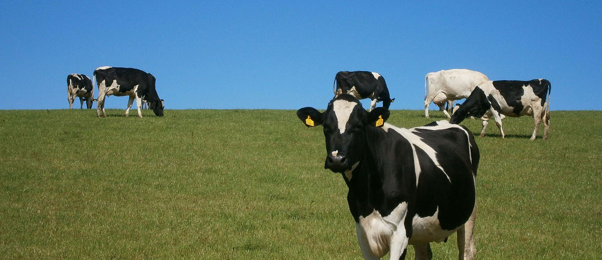
Winter in the Prairies: El Niño typically corresponds to milder winters in the Prairies due to a weaker polar jet stream, resulting in less harsh Arctic and Siberian air. However, even with a milder winter, temperatures in Saskatchewan and Manitoba can still be notably cold.
Expect more variability in weather, with significant temperature swings as Pacific air occasionally penetrates the Prairies. Snowfall is projected to be below seasonal in Alberta and Saskatchewan, and closer to average in Manitoba.
A notable point: Be prepared for an exceptionally cold period around the holidays extending into the first part of January.
Winter in Ontario and Quebec: A mild December is not uncommon for Ontario and Quebec, aligning with the recent trend of delayed winter starts over the past two decades. This delay often results in a postponed start to spring, with lingering snow and chill into April.
The weather in central Canada during El Niño winters is variable, characterized by periods of above-seasonal temperatures followed by shorter spells of colder weather. Eastern areas, including central and northern Quebec, are likely to experience colder temperatures.
In moderate El Niño winters, the storm track typically passes south of the Great Lakes, leading to reduced snowfall in southern Ontario and Quebec. However, the risk of freezing rain events, especially in the Ottawa and St. Lawrence Valley, increases.
Special note: Expect the weather pattern to turn very cold and snowy for a couple of weeks around Christmas and New Year’s before easing in the second half of winter.
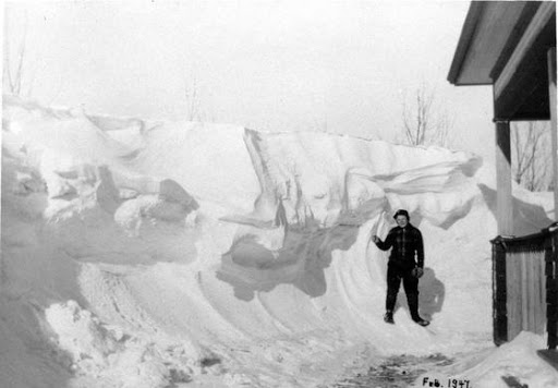
Winter in Atlantic Canada: The eastern third of Canada is expected to have seasonal to even well-below-seasonal temperatures this winter. There’s a higher probability of blocking high pressure developing over Greenland and Nunavut, pushing frigid Arctic air farther south into the Maritimes, Newfoundland, and Labrador.
In El Niño winters, the subtropical jet tends to be stronger, diverting major storms southward across the southern United States. However, with warmer water off the East Coast, these systems are likely to turn northward, affecting Atlantic Canada with above-average snowfall and a mix of rain and icing.
Winter in Yukon, N.W.T., Nunavut: Climate change continues to impact Canada’s North significantly, with milder-than-normal winters becoming increasingly common. This winter is expected to follow suit, with above-average temperatures centered in the Northwest Territories, extending into Yukon and Nunavut.
Later in the winter, blocking over Greenland is likely to result in higher-than-normal snowfall in the eastern Arctic.
Google Play and the Google Play logo are trademarks of Google LLC.